Camp Wolverton Staff
Design by Free CSS Templates
Maps
| PREVIOUS NEXT | UPDATED 10/20/09 |
|
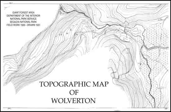
Wolverton Topographic Map - A larger image of the map may be viewed or downloaded by clicking on this link. However, it is a very large image and may take a long time to appear. When the image appears, use the magnifying icon in your browser to view the full-size image and use the sliders to pan across the page. |
 |
|
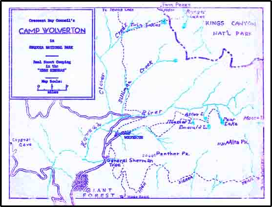
1950’s Camp & Vicinity Map - This map was part of the literature given to leaders. |
 |
| PREVIOUS NEXT |